Hello Fireshed Folks,
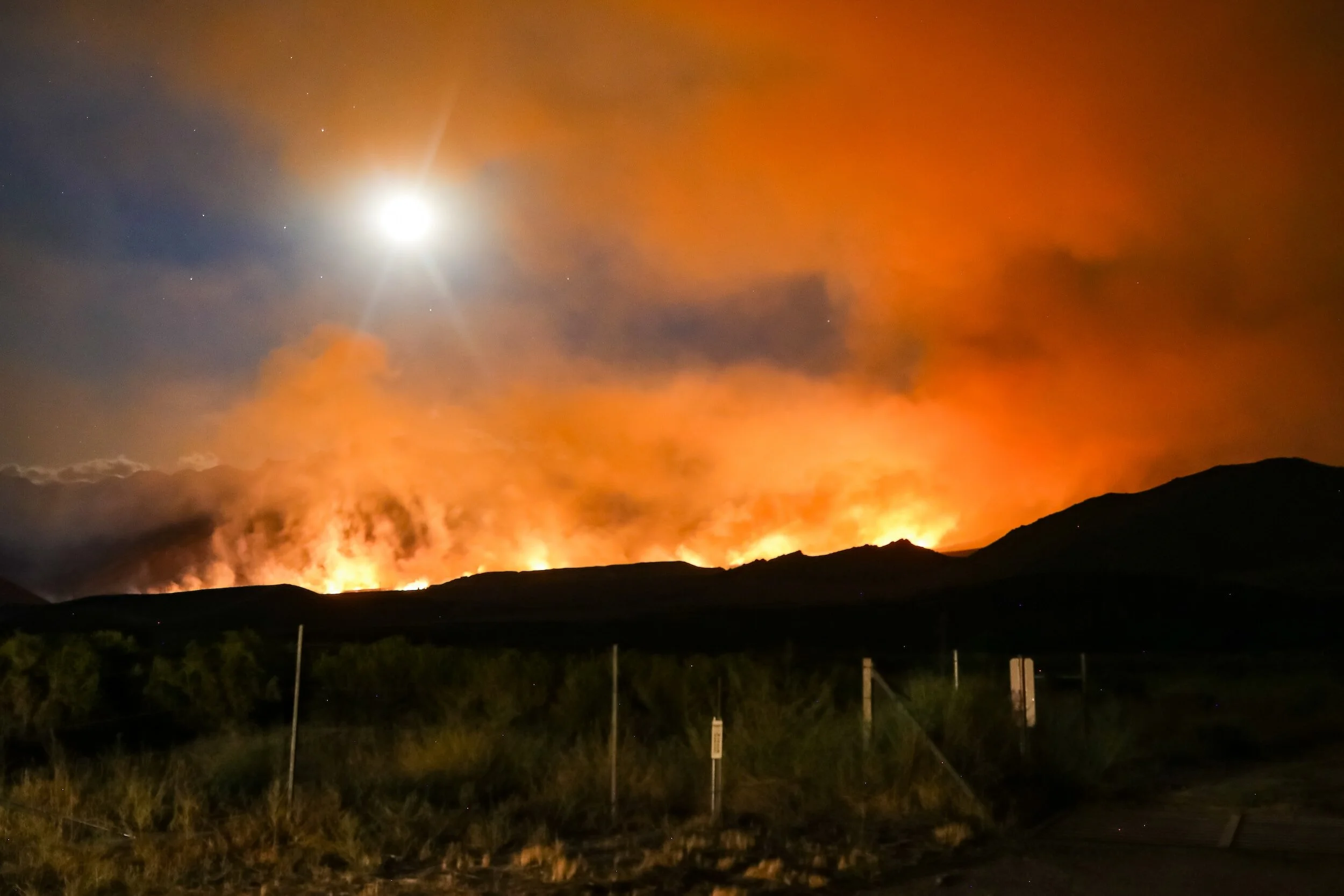
In the face of escalating wildfire risks in the Western U.S., homeowner's insurance stands as an important line of defense against climate change-induced calamities. The surge in unprecedented wildfires in recent times has prompted a reassessment of the risks associated with insuring homes in fire-prone regions by homeowners' insurance companies. Numerous conventional carriers now decline to provide insurance coverage for properties in high-risk areas, and some have stopped renewing existing policies. The reluctance of insurers stems from concerns about potential liabilities, exacerbated by the lengthening periods of drought and lessening wet seasons. This flight of insurance companies has happened perhaps first and worst in the state of California, and the struggle there can give context to what the rest of the west may face. Read on for more details.
In this post:
Background: California’s Insurance Challenges & the Impact Beyond CA
How Do Insurance Companies Determine Coverage?
Exploring Possible Solutions
Upcoming Opportunities
Happy Reading!
Best,
Dayl
Background
California’s Insurance Challenges
*Information sourced from this NY Times article and this KQED article.
Climate disasters, especially intensifying wildfires, have posed a significant threat to California, impacting the insurance industry and the millions of residents who rely on it. Seven major insurance companies, including Allstate, State Farm, Farmers Insurance, and AIG, have either left California or scaled back their operations in response to the escalating risks. The state's current business model is under threat, necessitating a comprehensive regulatory overhaul.
California Insurance Commissioner Ricardo Lara faced increased pressure to act as legislative efforts faltered. An executive order from Gov. Gavin Newsom urged swift action to strengthen the property market, prompting Lara to announce significant regulatory changes by the end of the next year. The proposed changes aim to enhance market stability, but they also raise concerns about potential premium increases.
Lara's proposed changes include agreements with insurance companies to offer coverage to at least 85% of homeowners in high wildfire-risk areas. This shift aims to transition homeowners from the state's insurer of last resort, the FAIR plan, back to the regular market. Additionally, allowing companies to use forward-looking climate catastrophe models and passing on California-related reinsurance costs are crucial components of the regulatory overhaul.
While the announced changes aim to address the challenges faced by the insurance industry, reactions have been mixed. Some see it as a necessary compromise to ensure both consumer and insurer viability, while others criticize it as a victory for the insurance industry. The potential for higher premiums has raised concerns, but the changing landscape suggests that the era of cheap insurance may be over, requiring homeowners to adapt to a new normal.
The Impact Beyond California
The challenges faced by California's insurance market are reflective of broader trends in the Western U.S. and beyond. Climate-driven disasters are accelerating price hikes, coverage withdrawals, and market instability, posing a global systemic risk. The potential collapse of the insurance market could have far-reaching consequences on the economy, affecting the real estate industry, mortgages, and overall economic stability.
How Do Insurance Companies Determine Coverage?
*Information courtesy of Ashley Dalton, an Insurance Agent with offices in Ruidoso and Alamogordo, NM. View her PowerPoint presentation slides on the topic here.
30-50% of underwriting decisions are based on the two following programs:
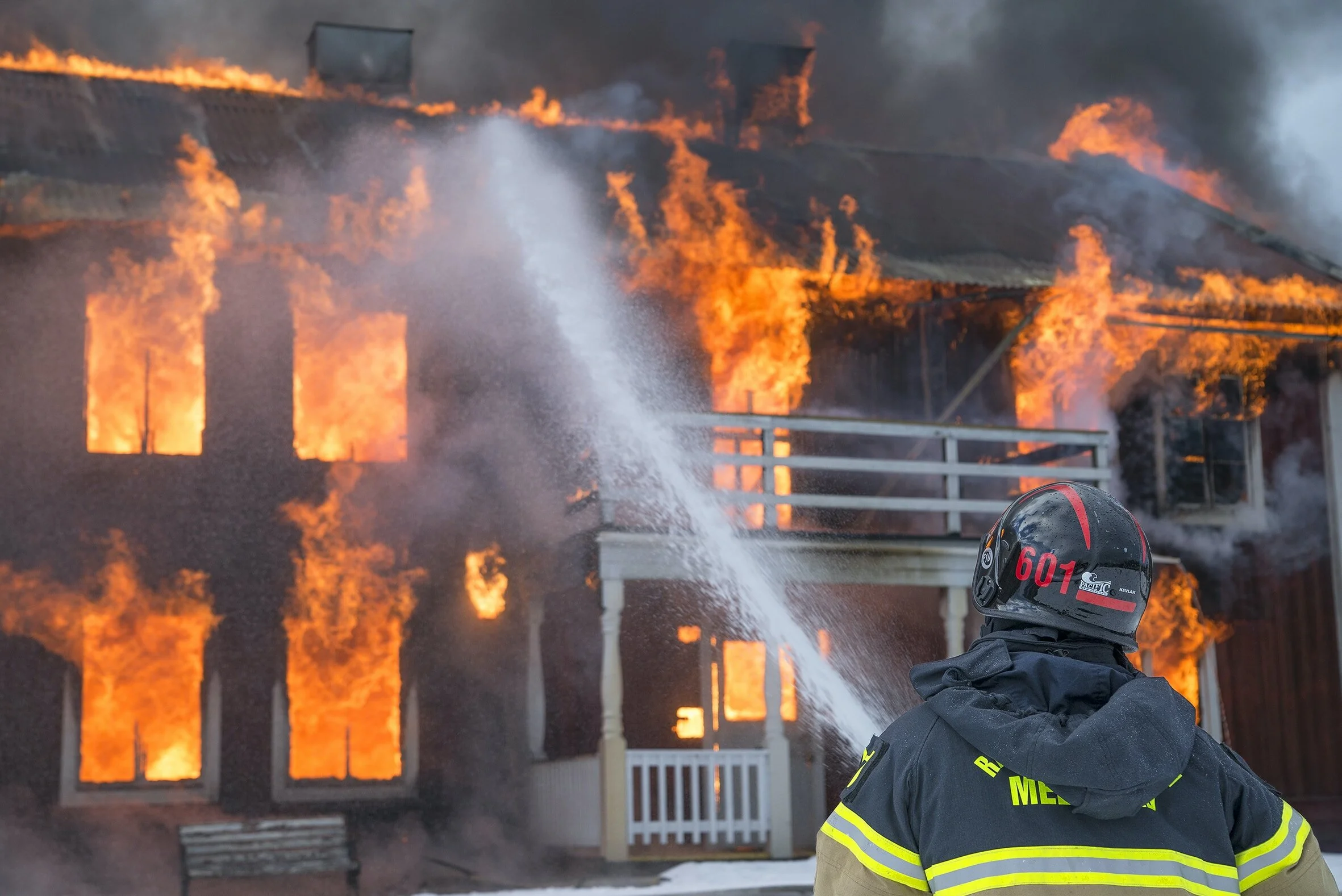
For typical structure loss due to fires
Public Protection Class ISO (1971)

• 50% comes from the quality of your local fire department, including staffing levels, training and proximity of the firehouse.
• 40% comes from availability of water supply, including the prevalence of fire hydrants and how much water is available to put out fires.
• 10% comes from the quality of the area’s emergency communications systems (911).
• An extra 5.5% can come from community outreach, including fire prevention and safety courses.
For predicting risks specific to wildland fires in rural areas
ISO Fireline (2004)
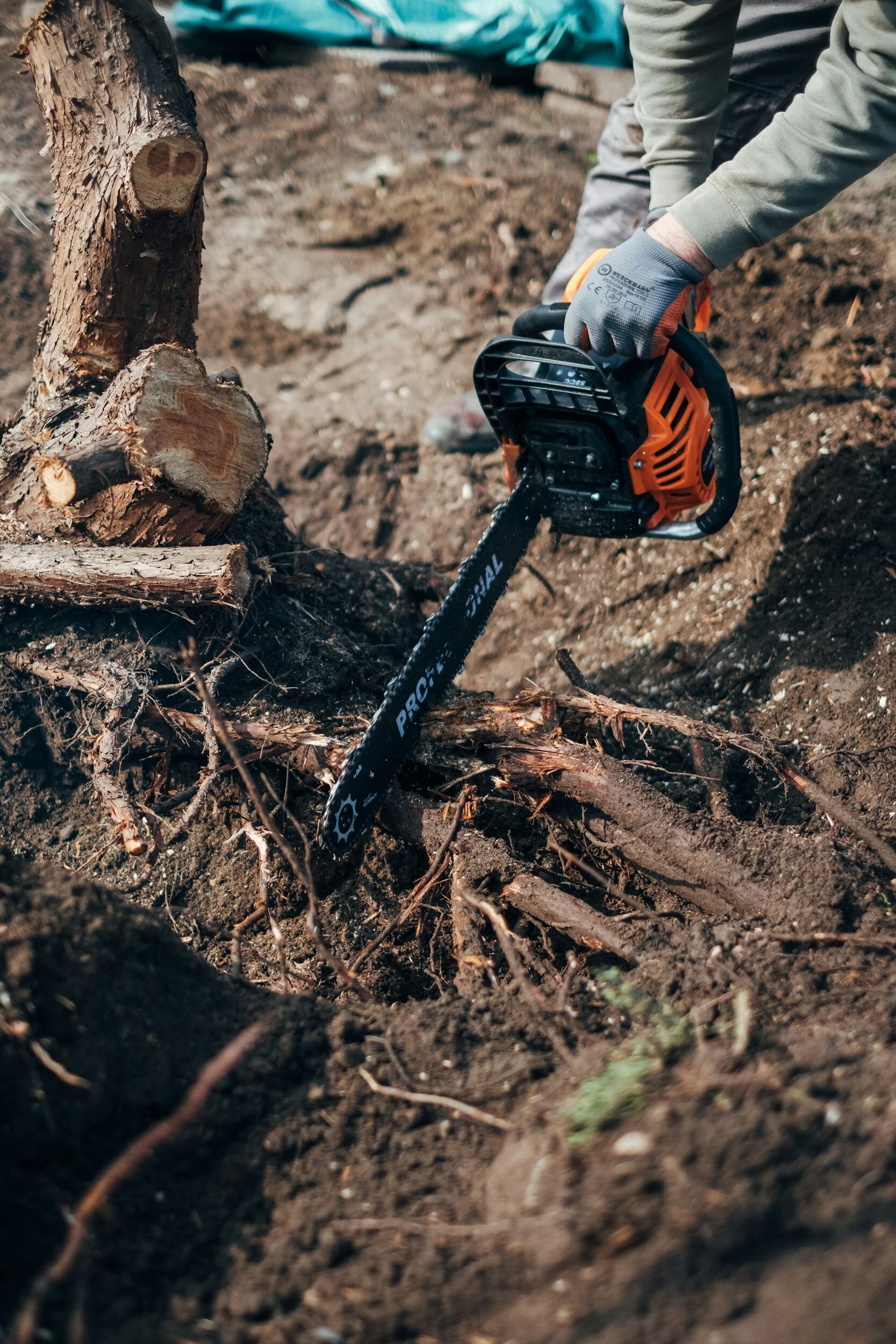
• Fuel — Grass, trees, or dense brush feed a wildfire.
• Slope — Steeper slopes can increase the speed and intensity of wildfire.
• Access — Limited access and dead-end roads can impede firefighting equipment.
• Scores range from negligible (0) to low (1), moderate (2–3),high (4–12), and extreme (13–30)
For the remaining 50-70%, it depends on the following: Construction type (fire-resistive, non-combustible, ordinary, heavy timber, wood-framed), roof type, renovations, condition, size, and age.

Exploring Possible Solutions
*Information and ideas are sourced from an interview with Nancy Watkins, a specialist in wildfire risk assessment and climate resilience. Listen to/watch the podcast episode here, and read her related research paper here.
The Need for Comprehensive Data
An important point in this conversation is the need for comprehensive data to thoroughly understand wildfire risk, and this is one of the main disconnects in the world of wildfire insurance. There are major challenges in quantifying risk, especially concerning community-level mitigation efforts, and the data needed to understand the current and future risk of wildfire is evolving rapidly. And while individuals may believe that mitigation efforts should guarantee insurance coverage, certain factors may still deter insurance companies.
The dynamic nature of mitigation work, changing annually, poses difficulties for insurers who cannot conduct on-site inspections regularly. Additionally, satellite imagery may not capture crucial zones near homes. One solution to these difficulties, as suggested by Nancy Watkins, would be to establish a data commons, providing parcel-level inspection data that is aggregated to enhance the quantification of wildfire risk. These data could provide invaluable insights for insurance companies, fire management professionals, scientists, and modelers, offering a more accurate depiction of wildfire risk. It can also lead to insights about where fire mitigation work can provide the most value relative to where a fire may come into a community, such as focusing on properties on the edge of the wildland-urban interface rather than in the middle of a residential development.
Community-Wide Mitigation and Market Incentives
So, what is going to motivate your neighbors to want to be wildfire prepared? Changes to the insurance industry may do the trick, in the form of communities getting official risk designations from insurance companies. This would involve having categories of community risk, just like there are currently categories of community hazard. These risk categories would be based upon what is done near communities to slow fire down, what fire response resources exist in communities, and how people have discouraged the fire from spreading from house to house.
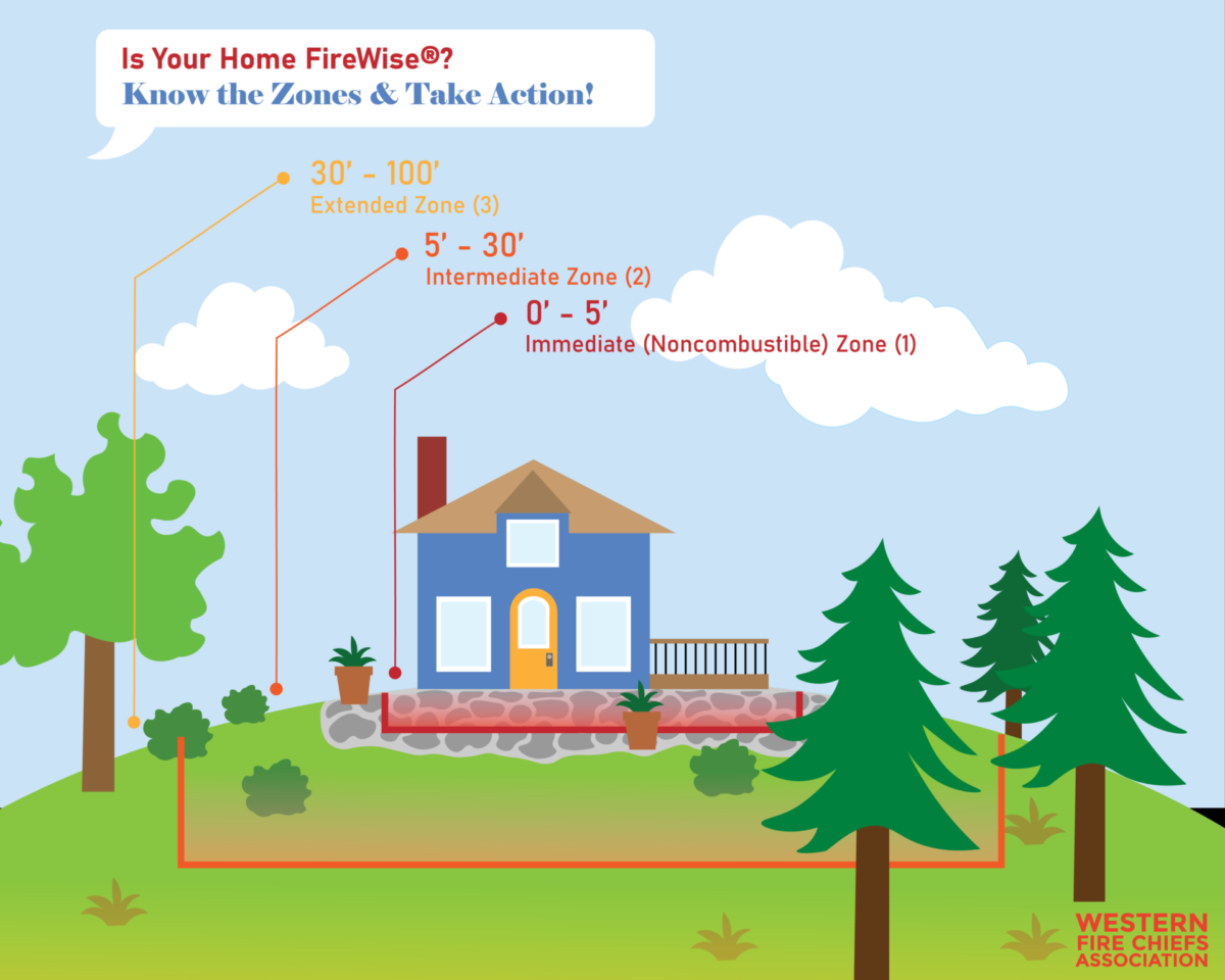
An example of this process might look as follows: if 75% percent of a community has completed measurable mitigation actions, then the risk level as a community would decrease. This system would provide a way to differentiate communities and make them more attractive to insurance companies. These community-level distinctions could also serve to bring community members together and increase participation in programs such as Firewise.
Conclusion
The evolving landscape of homeowner's insurance in the Western U.S. amid escalating wildfire risks signifies a critical juncture where challenges and potential solutions intersect. The significant impact on California's insurance market, marked by the departure of major carriers and regulatory efforts, exemplifies the broader trends affecting the region and beyond. As climate-driven disasters continue to drive price hikes, coverage withdrawals, and market instability, the repercussions extend to the economy, impacting real estate, mortgages, and overall stability. The delicate balance between consumer protection and insurer viability underscores the need for continued dialogue and collaboration to navigate the evolving challenges posed by escalating wildfire risks in the Western U.S.
Upcoming Opportunities
Funding Opportunity
Spring 2024 Fire Adapted Communities grant funding: application portal opening soon!
Are you interested in promoting and developing your community’s fire adapted practices? Motivated to convene community events but need a little help? Consider applying for seed funding this Spring!
FACNM is offering grants of up to $2,000 to Leaders and Members seeking financial assistance to:
convene wildfire preparedness events,
enable on-the-ground community fire risk mitigation work, or
develop grant proposals to ensure the financial longevity of their Fire Adapted Community endeavor.
Job Opportunity
The Forest Stewards Guild is hiring a Southwest Ecological Monitoring Technician for the 2024 season! Applications are due February 9th. Please include a resume, cover letter, and three references sent to collin@forestguild.org.
Upcoming Events
FACNM January Connection Call for Network Members and Leaders
Jan 29, 2024 1:00pm Mountain Time
Network members and leaders, please join us for our January FACNM connection call! We will be discussing network building successes, challenges, and strategies, and experiences with active outreach in our communities.
Jan 29, 2024 12:00pm Mountain Time
This webinar will provide an overview and quick "how-to" on tools for gathering and leveraging vulnerability data, which can be used to apply for federal grants that benefit under-resourced communities. Topics will include the Resilience Analysis and Planning Tool (RAPT), Grant Equity Threshold Tool (GETT), and the Climate and Economic Justice Screening Tool (CEJST).
Webinar: Overview of Prescribed Fire Liability in State Law
Feb 1, 2024 11:30am Mountain Time
Hosted By: The Nature Conservancy and the Fire Learning Network
In this 90-minute webinar, Sara Clark will provide an overview of prescribed fire liability in state law, including definitions of liability and how state laws defining liability interact with certified burn manager programs, tribal sovereignty and cultural burning, and prescribed fire insurance.
Thinking and Working in Projects: A Free ArcGIS Pro training workshop
February 15 · 12:30pm – 4:30pm MST
February 16 · 12:30pm – 4:30pm MST
Objectives of this course: understanding project design and functionality, creating a project from a template, sharing maps, layouts and content between projects, collaborating and integration with AGOL, Portal, streaming services.
To take part in this training you’ll need an active or trial license to ArcGIS Pro 3.X and will need to download the software before taking the course. You can download a 21-day trial here.
This free workshop is limited to 16 participants and is sponsored by the New Mexico Forest and Watershed Restoration Institute. Registering for the course will reserve your spot on both afternoons.