The Española Ranger District of the Santa Fe National Forest plans to burn piles in the Tesuque Creek area Jan. 8-9th (snow dependent).
After igniting the piles, fire crews will continue work to secure and then patrol the piles over the weekend and beyond. Patrols will continue until no smoke or heat are detected on the unit from hand cold-trailing by on-the-ground crews or infrared technology. The burn will not be declared out until infrared flights detect no heat.
To mitigate smoke impacts, ignitions will end around by mid-afternoon if ventilation is poor.
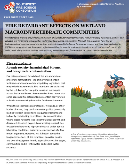
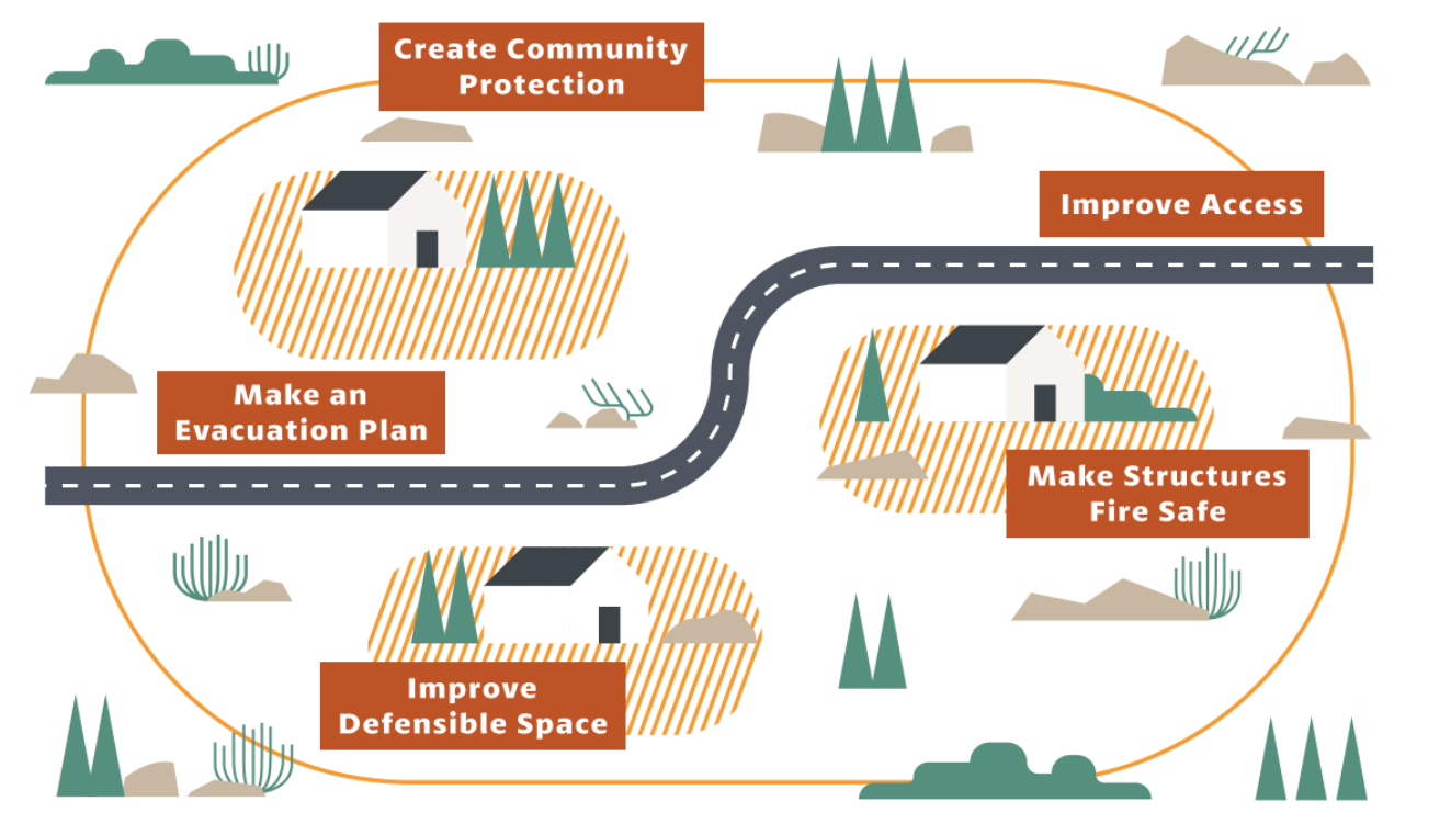
The purpose of this pile burn is to increase resiliency of the forest to high-severity wildfire as well as drought and insect and disease outbreaks (such as the visible recent Douglas-fir tussock moth outbreak). Projects like this will also protect our water from the Santa Fe Municipal Watershed and surrounding watersheds that are currently threated by high-severity fire.
Want to learn more?
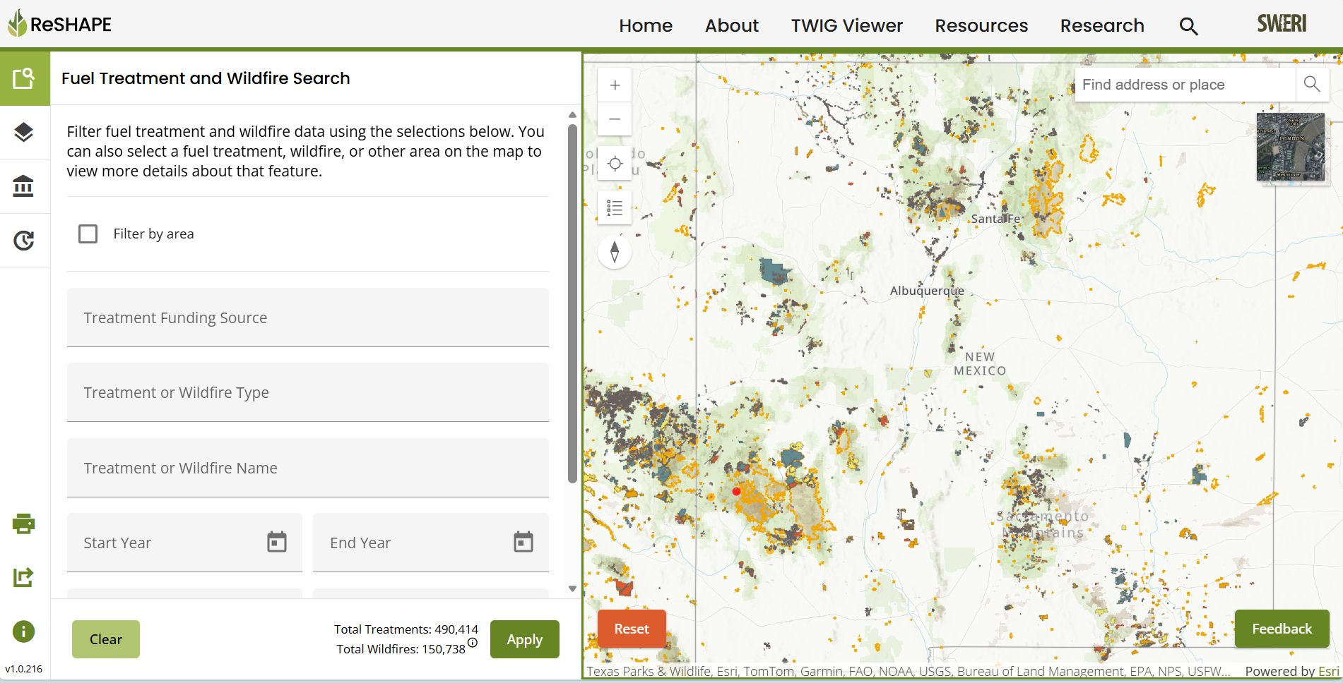
Read highlights from a recent field tour of the project area.
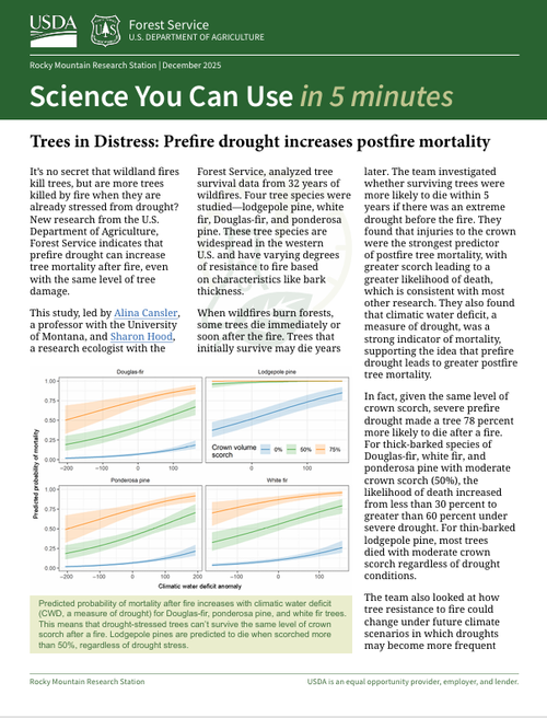
Read the Rocky Mountain Research Station’s “Science You Can Use” booklet on forest treatments (Oct. 2024)
Watch these 4-minute videos from the Nature Conservancy about the importance of:
Forest treatments for water security in northern New Mexico and southern Colorado
Sign up for weekly Wildfire Wednesday newsletters from the Fire Adapted New Mexico Learning Network
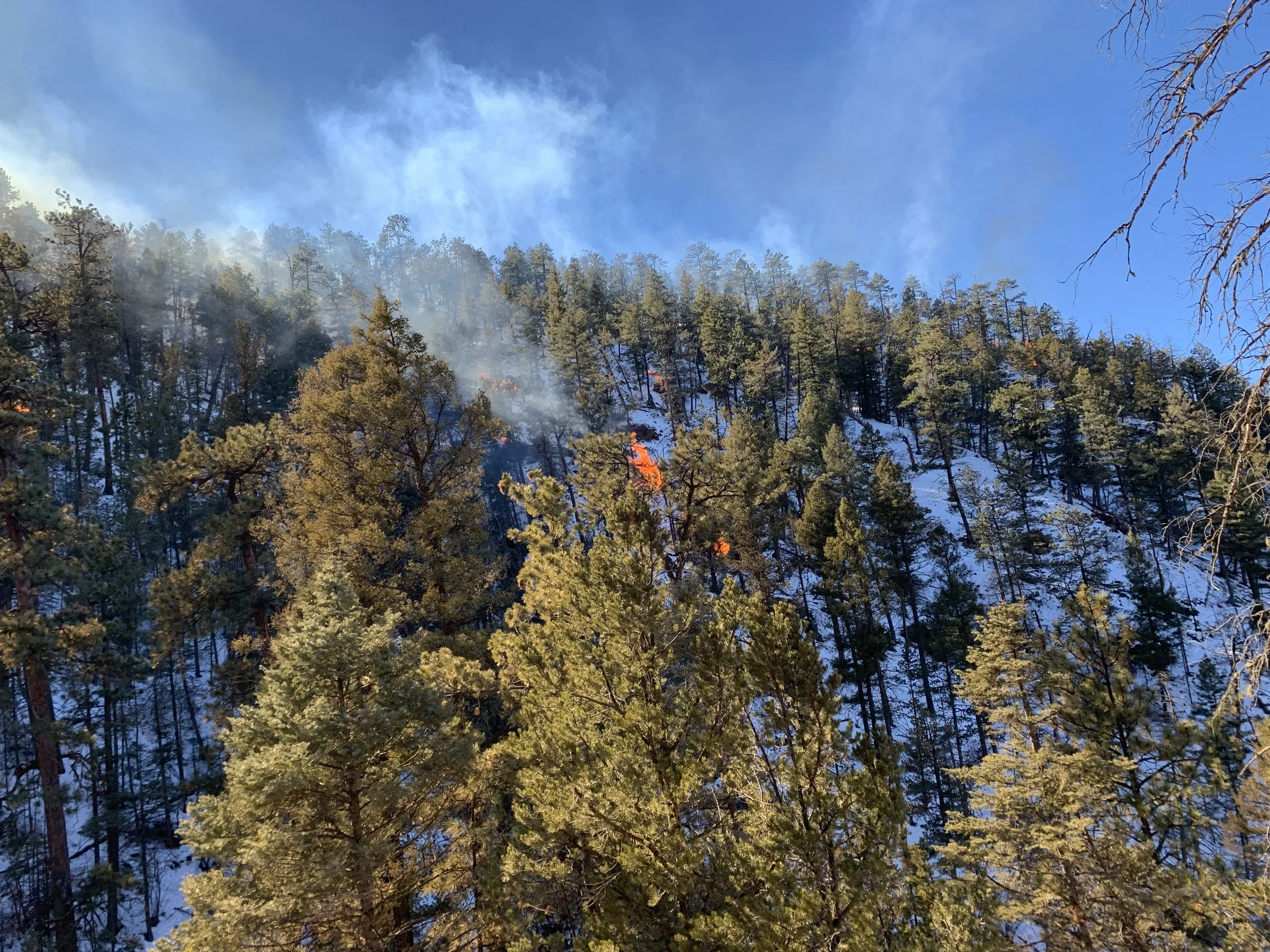
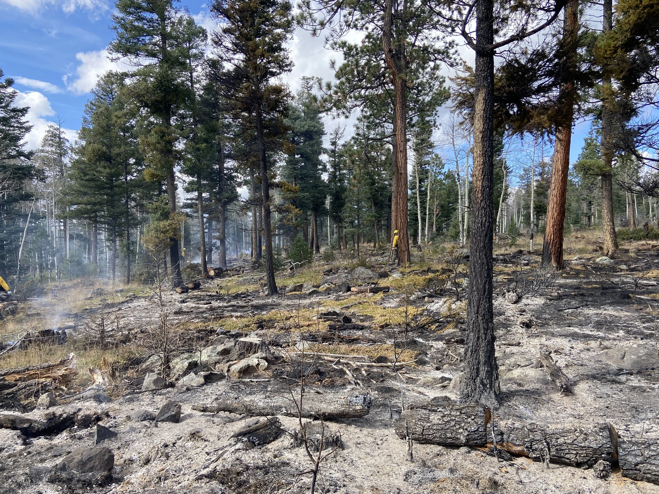
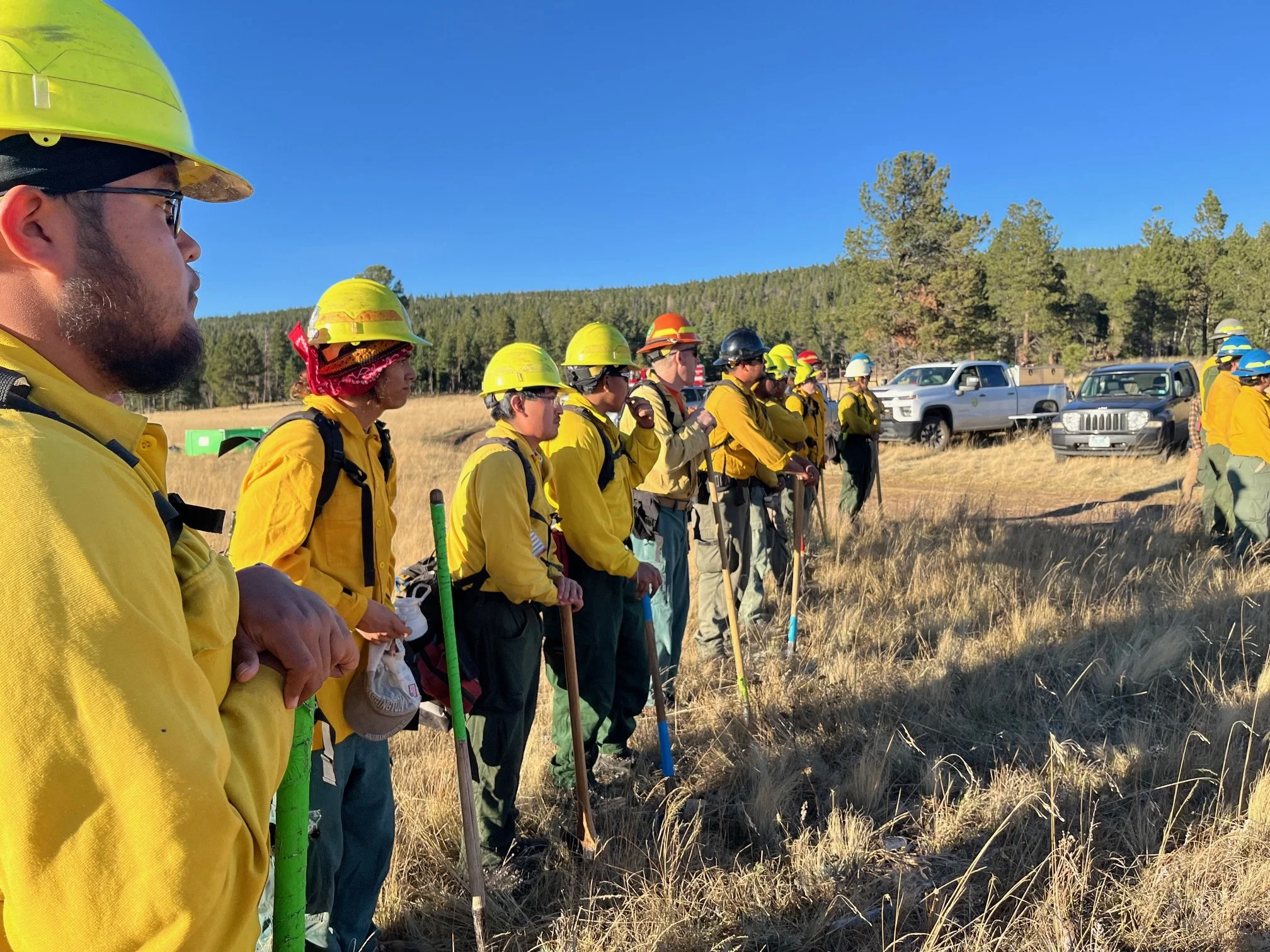
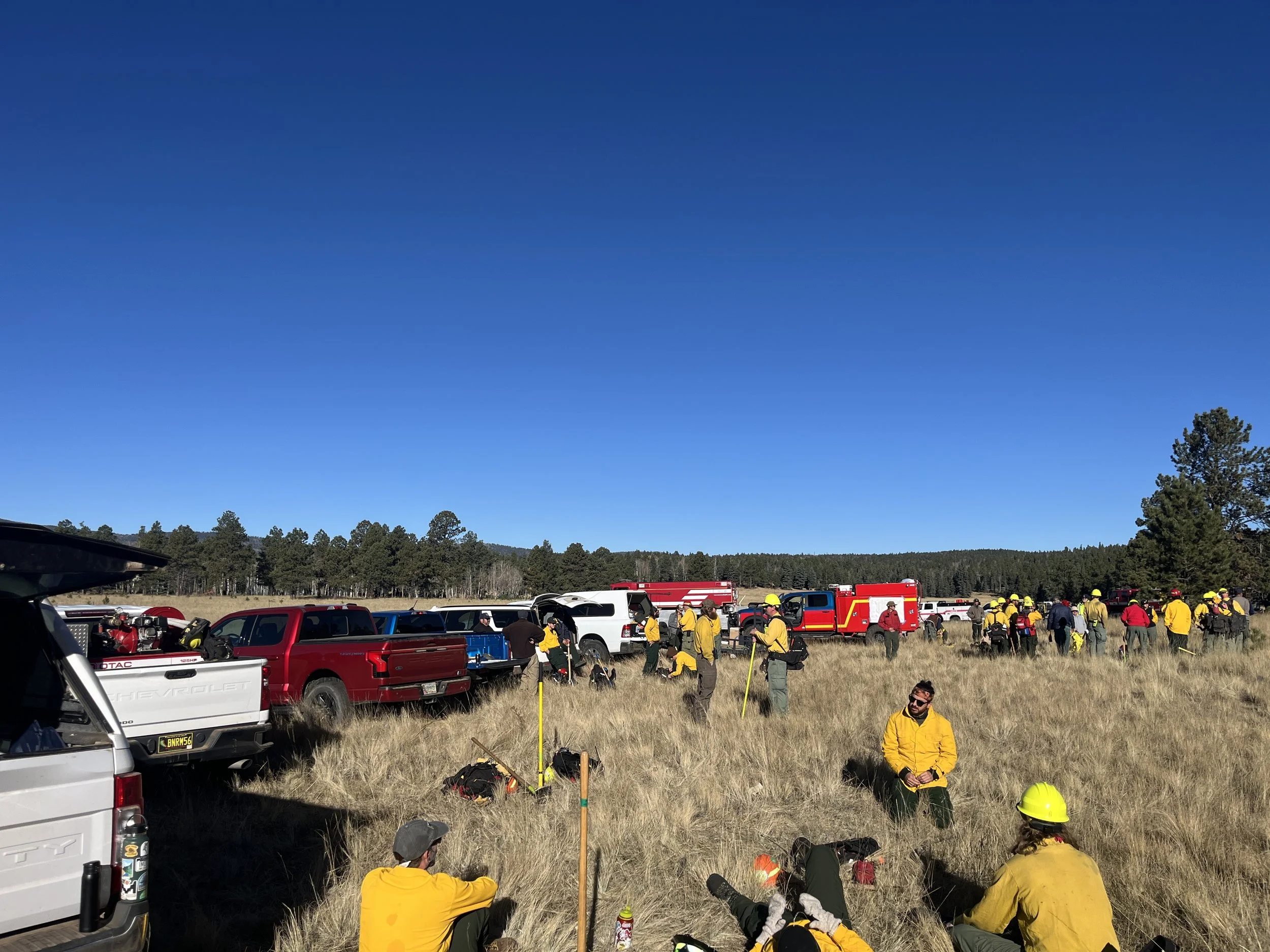
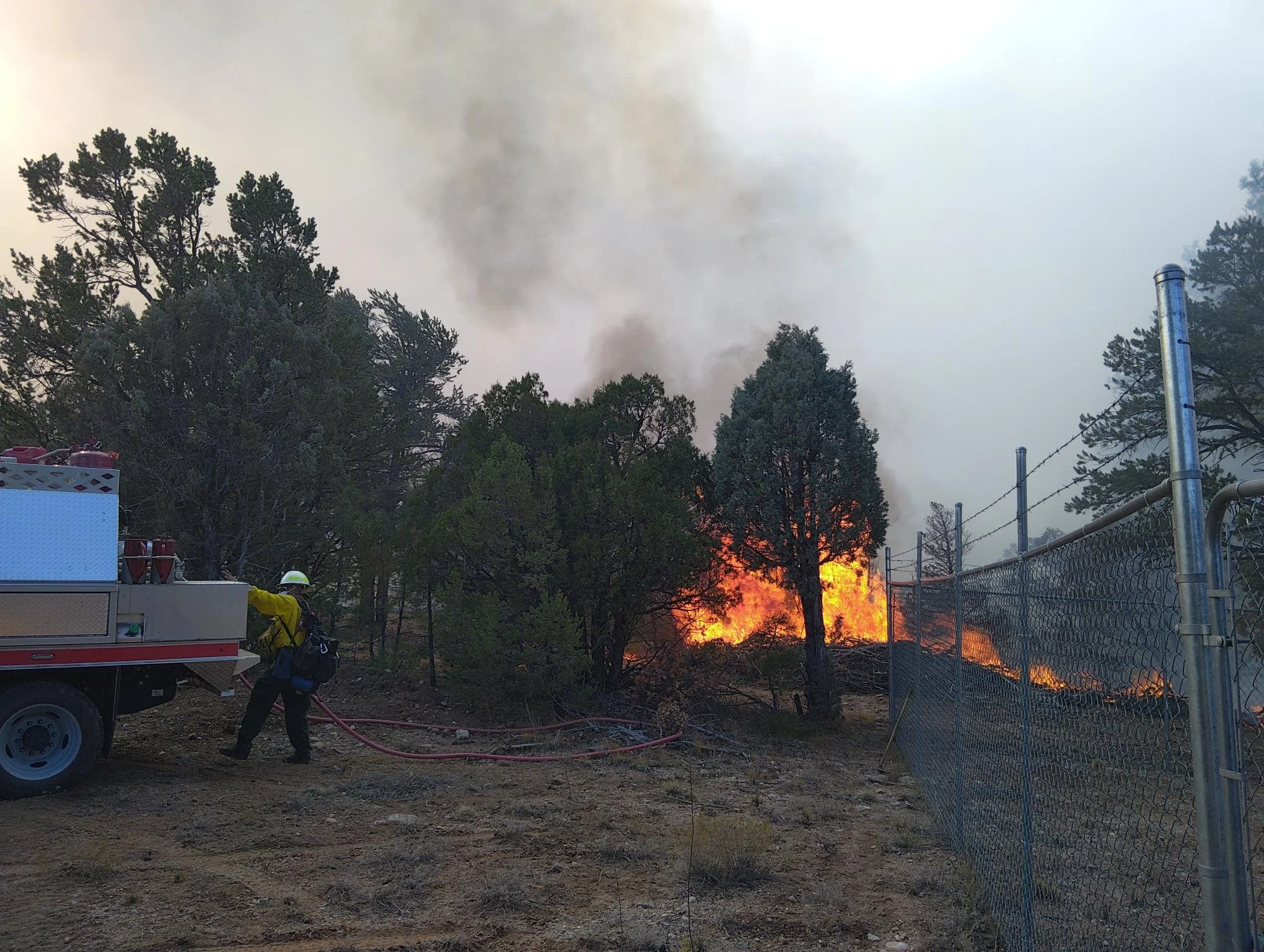
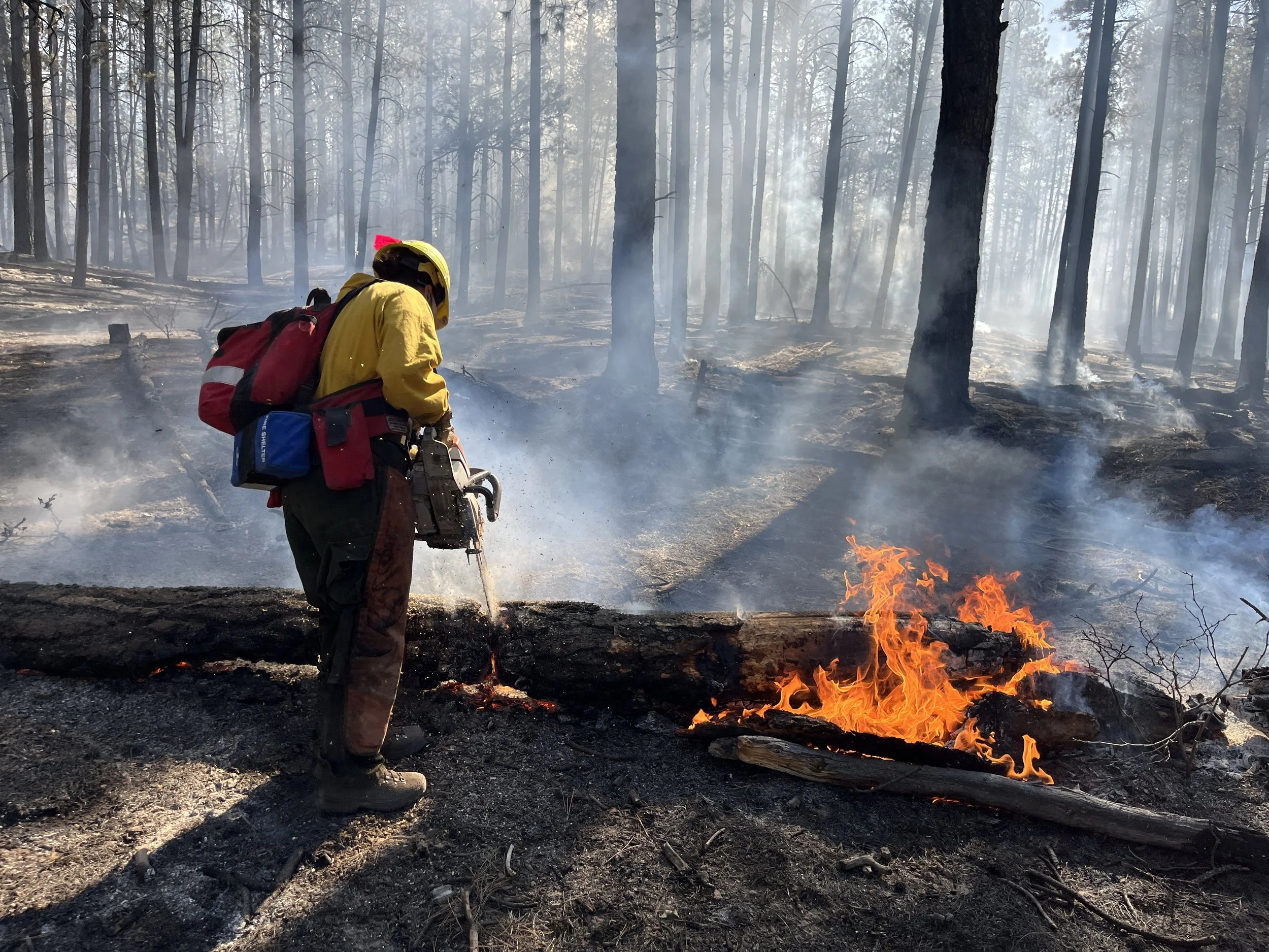
Photos from collaborative pile burning in previous years in the Santa Fe National Forest (in Pacheco Canyon). Photo Credit: Forest Service