Wildfire Wednesdays #50: Montana Wildfire Insurance Panel - Soil Moisture and Wildfire Danger

Hi Fireshed Members,  

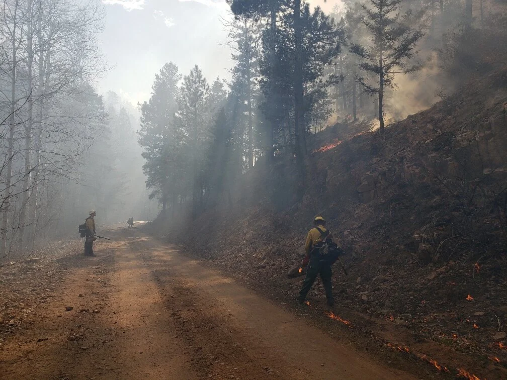
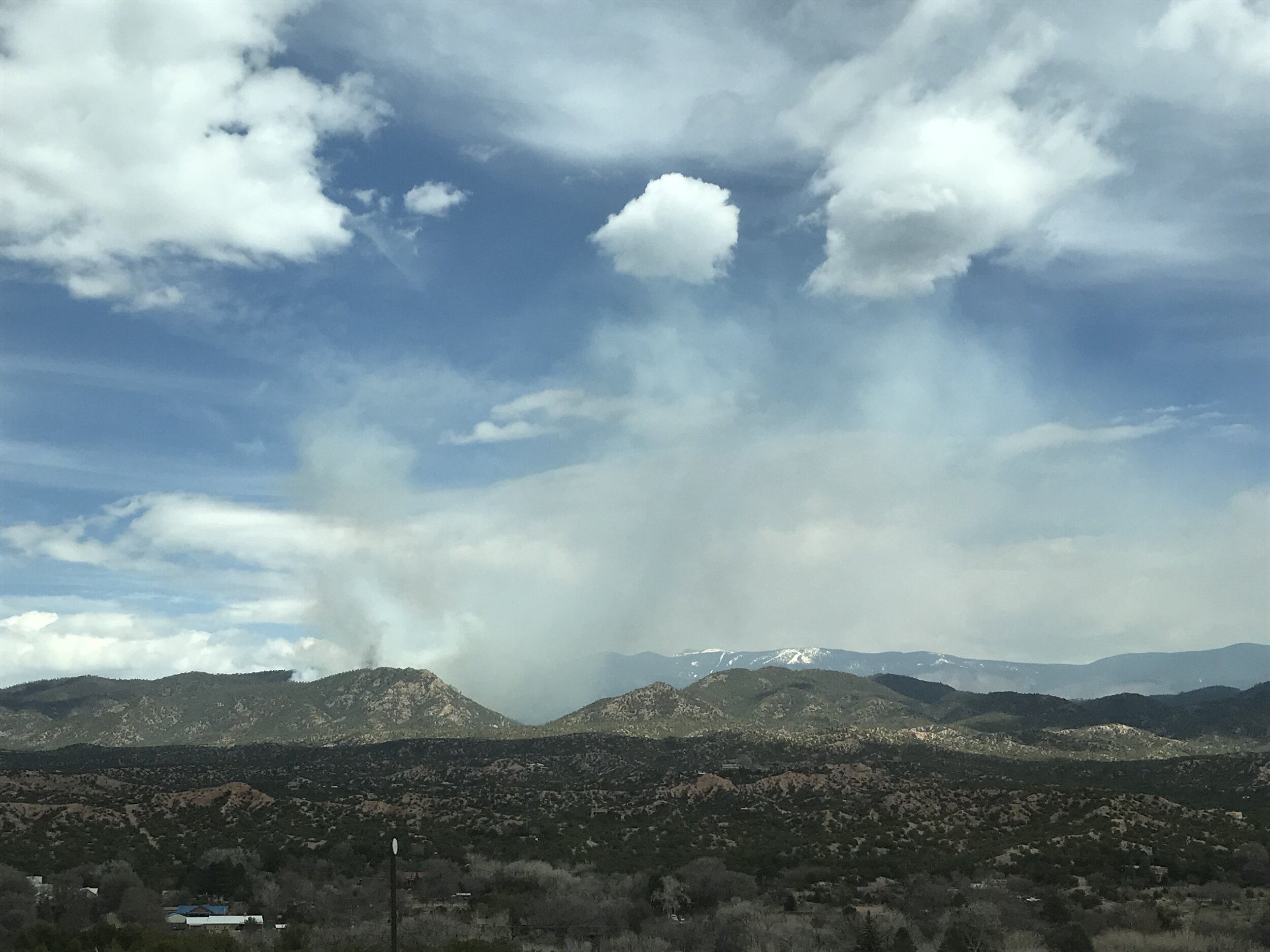
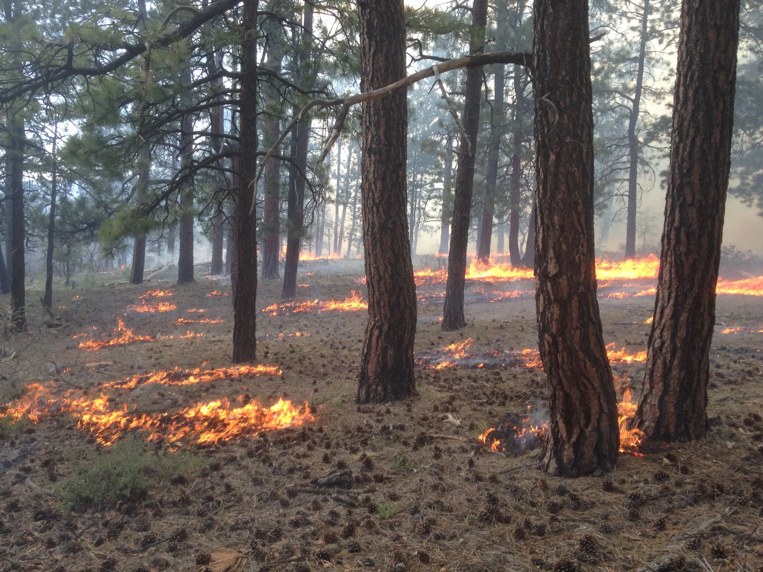
Spring is windy in New Mexico. Be sure to check for red flag warnings before you burn debris or operate equipment that may create sparks. Red Flag warnings mean that warm temperatures, low humidities, and stronger winds are expected to combine to produce an increased risk of fire danger. There are currently red flag warnings across most of New Mexico.  

This Wildfire Wednesdays features:  

  • A webinar about insurance industry professionals and wildfire mitigation 

  • Using Soil Moisture Information to Better Understand and Predict Wildfire Danger 

Best,  

Gabe 


Insurance Industry and Wildfire Mitigation 

download.png

This panel discussion, followed by a public Q&A, covers how we can better align the efforts of community leaders and insurance providers in promoting and expanding wildfire risk reduction efforts. 

Carole Walker of the Rocky Mountain Insurance Information Association moderated the panel, which featured Nicole Mahrt-Ganley of American Property Casualty Insurance Association, Daniel Gorham of IBHS, and Jason Fehr of Chubb Insurance. The panel was hosted by Fire Adapted Montana Learning Network and Missoula County Office of Emergency Management, and was made possible with funding provided by the Fire Adapted Communities Learning Network. 

For more information, and to view the recording, please click here. 


Using Soil Moisture Information to Better Understand and Predict Wildfire Danger: A Symposium for Researchers and Fire Managers 

wildfire-soil-moisture-symposium.jpg

This free online symposium will highlight the latest advances in using soil moisture information to better understand and predict wildfire danger. These recent discoveries are revealing the potential for soil moisture estimates from in situ monitoring stations, remote sensing, and models to improve fire danger predictions and to advance our understanding of fire behavior. 

This interactive symposium will provide researchers and fire managers a unique opportunity to connect with others, to learn about ongoing research in this area, and to discuss ways to move forward with new research and end uses. 

The symposium will run from 9 a.m.-12 p.m. CDT and from 1 p.m.-4 p.m. CDT on May 6, 2021. The event agenda, which will be posted shortly on Drought.gov, will feature invited talks, interactive breakout groups, and panel discussions.  

Registration is free. Click here to register by April 30, 2021. 

Invited Speakers: 

  • John Bolten, Hydrological Sciences Branch, NASA Goddard Space Flight Center 

  • J. D. Carlson, Biosystems and Agricultural Engineering, Oklahoma State University 

  • Nicholas Coops, Forest Resources Management, University of British Columbia 

  • W. Matt Jolly, Rocky Mountain Research Station Fire Sciences Laboratory, U.S. Forest Service 

  • Brian Magi, Geography and Earth Sciences, University of North Carolina at Charlotte 

  • Brad Quayle, Geospatial Technology and Applications Center, U.S. Forest Service 

  • J. T. Reager, Terrestrial Hydrology Group, NASA Jet Propulsion Laboratory 

  • Angela Rigden, Earth and Planetary Sciences, Harvard University 

Sponsored by the U.S. Geological Survey South Central Climate Adaptation Science Center, with additional programmatic support provided by the U.S. Forest Service, the National Coordinated Soil Moisture Monitoring Network, and NIDIS. 

Organizing Committee: 

  • Matthew Levi, Crop and Soil Sciences, University of Georgia (co-chair) 

  • Tyson Ochsner, Plant and Soil Sciences, Oklahoma State University (co-chair) 

  • Stephanie Connolly, U.S. Forest Service, Office of Sustainability and Climate 

  • Marina Skumanich, NOAA/NIDIS, National Coordinated Soil Moisture Monitoring Network 

For more information, please contact Matthew Levi (matthew.levi@uga.edu) or Tyson Ochsner (tyson.ochsner@okstate.edu). 

Wildfire Wednesdays #49: Land Use Planning - Reduce Home Risk - Smoke Preparedness

Hi Fireshed Members,

Spring is an important time for forest and fire managers to complete much-needed prescribed fire projects while weather conditions are favorable for low-severity fire. If you need information on a prescribed fire near you, or are interested in current fire restrictions, be sure to visit nmfireinfo.com.

This Wildfire Wednesdays features:

  • Land Use Planning: Expanding the Wildfire Risk Reduction Toolkit

  • Steps to reduce Wildfire Risk to your Home

  • Smoke Preparedness Resources

Best,

Gabe

Land Use Planning Toolkit

CWPC-Report-Cover.png

Authors

Molly Mowery, AICP (Executive Director, CWPC)

Darrin Punchard, AICP, CFM (Principal, Punchard Consulting LLC)

The findings of a recent report illustrate that there are many opportunities within each state and across all four states to advance WUI risk reduction objectives through land use planning. Broad solutions synthesized from all four states focus primarily on state-level policy and funding activities:

  • Adopt state legislation for minimum wildfire hazard planning requirements.

  • Integrate the role of land use planning expertise in WUI initiatives.

  • Promote learning opportunities to engage planners on WUI topics.

  • Dedicate resources and funding to support risk reduction in the existing WUI.

  • Identify and transfer land use planning practices from other hazards to wildfire.

It’s imperative to take action now on implementing these solutions. Western communities are increasingly facing trends and uncertainties that will continue to put pressure on the WUI—this includes accelerating impacts of climate change, population growth, and shifting land use patterns shaped by changing commuter patterns. Collectively, these factors could both expand the footprint of the WUI and increase the devastation of wildfires. Forward-thinking land use planning policies and regulations serve an important role in helping state and local governments address wildfire risk for communities today and those in the future.

To learn more about this research and access the Land Use Planning Toolkit by Molly Mowery, click here.

Steps to Reduce Wildfire Risk to your Home

disastersafety-logo-orange-114x114-1.jpg

No one thing reduces risk completely―the solution requires a system. Follow this series of steps to reduce your home’s risk.

Research has shown there are clear steps you can take to give your home a much better chance of surviving an encounter with wildfire. This guide produced by the Insurance Institute for Business and Home Safety (IBHS) provides four sets of steps that are grouped to provide the most impact for the time and cost involved. Get started today and be Wildfire Ready.

To see the steps that will give your home the best chance of survival, click here.

Smoke Preparedness Resources

SharedScreenshot.jpg

If you were not able to join the Smoke Preparedness webinar with Ali Lerch last night, click here to see the recording. Through the 1-hour webinar we discussed the health effects of smoke exposure, differences between smoke from wildfire and prescribed fire, and some resources that you can use to prepare your home and family for wildfire smoke.

Some great resources for smoke preparedness including:

FACNM Smoke Resources Page: https://facnm.org/smoke

  • Interactive smoke map

  • General Smoke Information

  • HEPA filter loan program

WAFAC Smoke Ready Page: https://www.fireadaptedwashington.org/toolkit/#Smoke-Ready-Toolkit

  • Presentations in English and Spanish for communicating smoke readiness to others.

  • Videos in English and Spanish for communicating smoke readiness to others.

Greater Flagstaff Forest Partners Smoke Resources: https://gffp.org/smoke/

  • Resources to check air quality

  • Information about the health risks and improving your health during wildfire smoke

Pacheco Canyon Prescribed Burn

Fire managers on the Santa Fe National Forest (SFNF) took advantage of optimal conditions to conduct the Pacheco Canyon prescribed burn on the Española Ranger District this week.

The 550-acre prescribed burn is part of the larger Pacheco Canyon Forest Resiliency Project, a 2,042-acre forest restoration project that was instrumental in keeping the lightning-caused Medio Fire from crossing Forest Road (FR) 102 and threatening significant values at risk, including the Santa Fe ski basin and municipal watershed. The Pacheco Canyon treatment area along FR 102 helped firefighters contain the 2020 Medio Fire, at approximately 4,000 acres.

Each prescribed burn is designed to meet specific objectives and will be managed with firefighter and public safety as the first priority. The Pacheco Canyon prescribed burn, approximately 6 miles east of Tesuque Pueblo and 3 miles west of Ski Santa Fe, will protect communities by reducing the accumulation of hazardous fuels and decreasing the potential for severe wildfire.

Operations were successful. The Medio fire assured lines were held on the east side. On the west side, the fuels burnt as expected.  By late afternoon operations were complete on the east and west containment lines down to FR102. Firefighters finished mopping up by 7:30 pm on Easter day. Good fire was re-introduced to 547 acres.

Smoke management is a key part of the planning and implementation of prescribed burns. The SFNF manages prescribed fires in compliance with New Mexico state regulations on air quality and smoke management. Smoke-sensitive individuals and people with respiratory problems or heart disease are encouraged to take precautionary measures. Information on air quality and protecting your health can be found online at the New Mexico Department of Health (NMDOH) Environmental Public Health Tracking (EPHT) website. Information on the Forest Stewards Guild’s HEPA Filter Loan Program is available here.

 Photos courtesy of Tesuque Pueblo Environment and Natural Resources Department and the Forest Stewards Guild.

Wildfire Wednesdays #48: Smoke Preparedness Webinar - Fire Restrictions Tool - The West is Burning Documentary

Hi Fireshed Members,

With the drought, warmer spring weather, and wind we are already beginning to see Red Flag days across the state. Fire season comes early in the Southwest, so be prepared. While taking precautions to protect your home from flames and embers, be sure to prevent the start of a wildfire through debris burning, sparks from gas-powered equipment, or anything else.

This Wildfire Wednesdays features:

  • Smoke Preparedness Webinar hosted by FACNM

  • New Tool for Fire Restrictions Information

  • The West is Burning: A Documentary about Increasing Wildfire

Best,

Gabe

Smoke Preparedness Webinar Tuesday, April 13th at 6pm

Click to zoom

Click to zoom

Please Fire Adapted New Mexico learning network (FACNM) on Tuesday, April 13th at 6pm mst for a Smoke Preparedness Webinar with guest speaker Ali Lerch. Through this interview-style, 1-hour webinar we will open up a conversation with our speaker about the health effects of smoke, differences between prescribed fire and wildfire smoke, and some resources to prepare you and your family for wildfire smoke during the 2021 wildfire season. The webinar will take place on Facebook live and will be streaming from the FACNM Facebook as well as partner Facebook pages.  

Click to zoom

Click to zoom

Guest speaker, Ali Lerch, has over 14 years of experience working with local, state, and tribal natural resource agencies in community wildfire facilitation, public speaking, planning, grant writing, coalition building, and risk assessments in high risk areas throughout the United States with a focus in North Carolina, Utah, Oregon, and Colorado. Ali provides expertise and support to organizations on wildfire smoke adaptation through the Fire Adapted Communities Learning Network’s (FAC Net) Smoke Learning Group.

This webinar is part of an interagency campaign to promote wildfire preparedness in 2021, centering around the theme “Wildfire Preparedness is Year-Round," Fire Adapted New Mexico and will be hosting a monthly webinar series for March, April, and May.  

New Tool for Fire Restrictions Information

fire-restrictions_banner-2.jpg

Interagency public land management partners from Arizona and New Mexico have worked to develop a map-based tool to inform the public about fire restrictions on public lands. Partner agencies, under the Southwest Coordinating Group, have worked to develop a new informational web tool that went live Monday, April 5, 2021. The new web tool is designed to provide the public with fire restrictions information for public lands that is easy to find and understand, as well as linking the users to the agencies managing those public lands for more detailed information for trip planning.

Fire restrictions can be found by visiting the following locations: · In Arizona, the fire restriction information web-tool can be found by visiting: Wildlandfire.az.gov

In New Mexico, the fire restriction information web-tool can be found by visiting: NMFireInfo.com and selecting the Restrictions tab on top menu.

Fire restrictions are implemented in an effort to help decrease human-caused fires during periods of high fire potential by restricting activities which are the most common causes of wildfires. By providing a resource with accurate and timely information, the goal is to educate and increase compliance, therefore reducing preventable human-caused fires.

To read the full release, click here.

The West is Burning

West is Burning Postcard front.jpg

THE WEST IS BURNING raises awareness about the conditions of forests in the western U.S. Told through a full-feature documentary, we examine the history of forest management and litigation that led to the current conditions which are causing catastrophic fire nearly year-round. The film explores the urgent need to act now, and the potential to generate positive change in our forests, watersheds, and communities, both rural and urban.

The documentary airs on PBS in New Mexico at 2pm tomorrow for the first time. To see the full list of showings on PBS in New Mexico, click here.

An app accompanies the documentary as a way for you to create short films with a narrow focus. Discover these short films on our story map.

Find community hosted screenings followed by engaging dialogue. Or host your own screening! We’ll provide a guide to help you facilitate it.

You have an important role in this conversation and we want you to be informed and involved.

For more information about the documentary on their website, click here.

SFNF Española District Implements Pacheco Canyon Prescribed Burn On Sunday

IMG_3760.JPG

SANTA FE, NM – April 4, 2021 – Fire managers on the Santa Fe National Forest (SFNF) are taking advantage of optimal conditions to conduct the previously announced Pacheco Canyon prescribed burn on the Española Ranger District today. 

Smoke management is a key part of the planning and implementation of prescribed burns. The SFNF manages prescribed fires in compliance with New Mexico state regulations on air quality and smoke management. Smoke from the Pacheco Canyon prescribed burn may be visible in Santa Fe, Tesuque, Nambe, Los Alamos and Pojoaque as well as the I-25 and US 285/84 corridors for a day or two after the burn.

Smoke-sensitive individuals and people with respiratory problems or heart disease are encouraged to take precautionary measures. Information on air quality and protecting your health can be found online at the New Mexico Department of Health (NMDOH) Environmental Public Health Tracking (EPHT) website. Information on the Forest Stewards Guild’s HEPA Filter Loan Program is available here.

The Pacheco Canyon prescribed burn unit is approximately 6 miles east of Tesuque Pueblo and 3 miles west of Ski Santa Fe. For additional information about the 550-acre Pacheco Canyon burn and its objectives, see the March 31 press release at https://go.usa.gov/xH3f9. Every prescribed burn is managed with firefighter and public safety as the first priority. 

Fire updates will be posted on the SFNF websiteNew Mexico Fire Information website and on the Santa Fe National Forest Facebook page and Twitter @SantafeNF.

For more information on the Pacheco Canyon pile burn, contact the Española Ranger District at 505-753-7331.